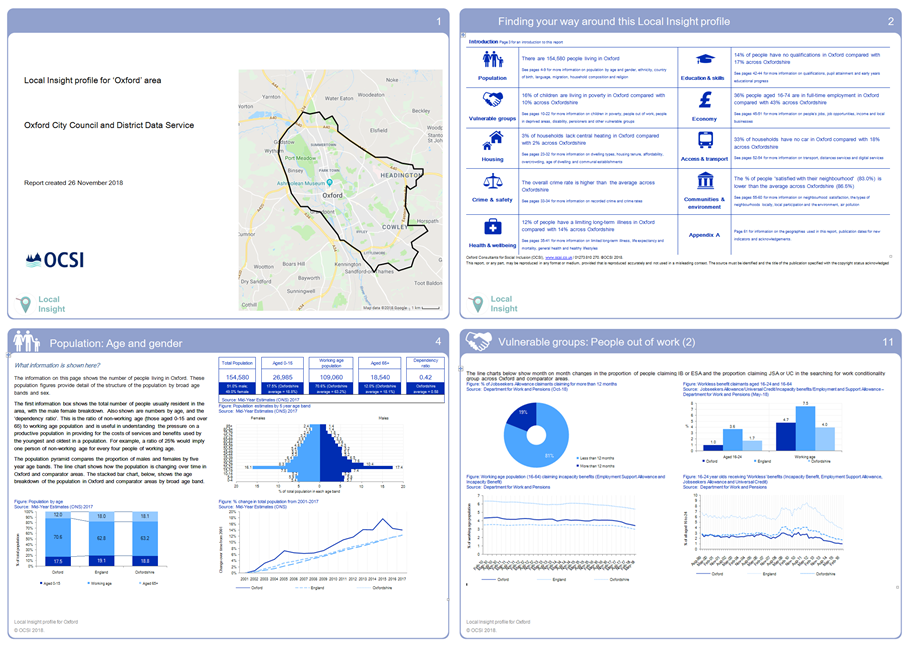
Local authority profiles
These are local authority profiles for Oxford, Oxfordshire, and the other districts within the county.
Download the Local Insight Local authority profiles.
Small area profiles
These small area profiles show the characteristics of people living in different areas of the city according to a wide range of government and other open data.
Download Ward profiles (post-May 2021) including Census 2021 data - updated July 2023.
Ward profiles for the boundaries pre May 2021 can be found at the link below:
Download Ward profiles (pre-May 2021 ward boundaries).
Download user requested neighbourhood profiles.
These profiles will be useful for those interested in a wide range of demographic, education, economic, health, and crime data.
Contact us to request small area profiles or updated profile reports.
Constituency profiles
Download Westminster constituency profiles for Oxfordshire.

Further information
Contact the Social Statistics Service
Address: Town HallSt Aldate's
Oxford
OX1 1BX

